Comanche Crossing: Flying the North Atlantic to Canada, Part One

By Taz Mattar | MSFS 2024 | Piper Comanche 250 | IFR
A few weeks ago, I watched a video from The Flying Reporter, aviation journalist, pilot, and one of YouTube's most compelling voices in general aviation. He was talking about an upcoming real-world adventure: departing Blackbush on 23rd May, flying the North Atlantic ferry route to Canada, then continuing south through the US, visiting Niagara Falls, New York, and Lock Haven (birthplace of the Piper Aircraft Company) before ending up at Oshkosh for AirVenture on 19th July. The whole trip is in aid of Aerobility, the charity for whom he's trying to raise £50,000. He's doing it in a Piper PA-28, kitted out with a GTN 650 XI, a GI 275 engine monitor feeding him cylinder data, fuel flow, and fuel endurance, and a GFC 500 autopilot. Light aircraft. Ocean crossings. Charity flights across a continent. The kind of flying that most GA pilots only dream about.
I'm not going to replicate the whole thing. Oshkosh by July is a serious logistical commitment, and between work and life there's no world in which I can sit down and fly that many legs across two continents. But the North Atlantic section, Blackbush to Iqaluit, eight legs, that's a self-contained challenge in its own right. Compact enough to actually finish. Demanding enough to be worth doing.
I thought: I can do that right now.
Not in a real aircraft. I'm a mastering engineer, not a ferry pilot. But in Microsoft Flight Simulator 2024, with a full IFR flight plan, real weather, a SimBrief OFP for every leg, and Say Intentions AI handling ATC, there's something that feels genuinely close to the real thing. Close enough to feel the weight of it when you're a hundred miles from land with nothing but ocean beneath the wings.
This is that story. Eight legs. Blackbushe to Iqaluit. The North Atlantic in a vintage single-engine piston.
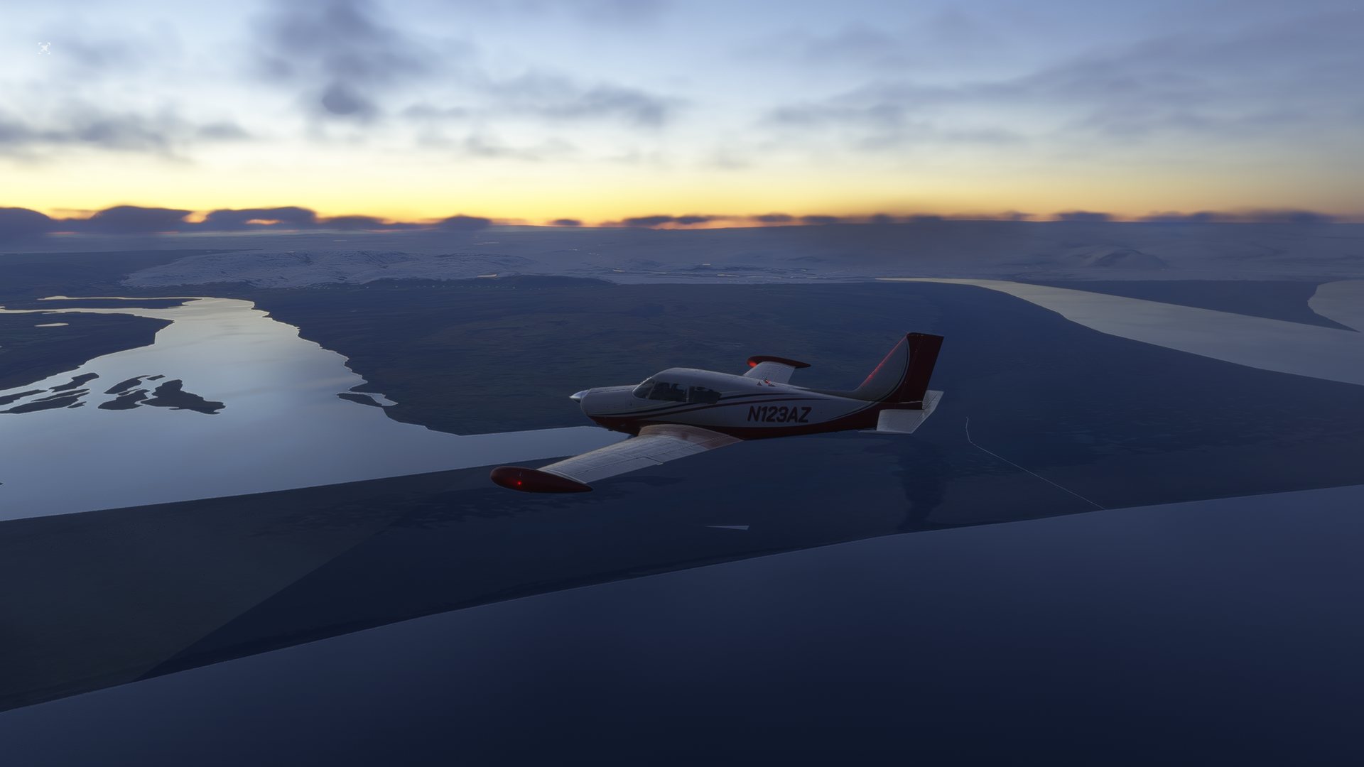
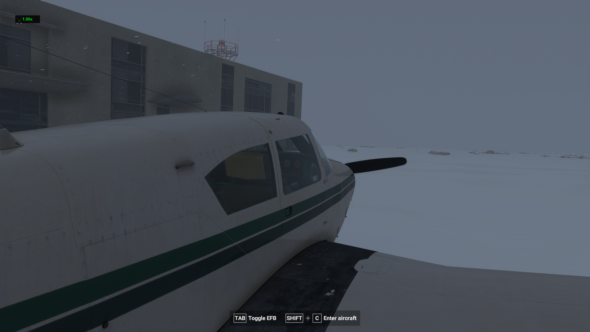
The Aircraft: N6229P, Piper Comanche 250
There's a reason the Piper Comanche has been the aircraft of choice for long-distance ferry pilots since the 1960s. The PA-24 is a serious cross-country machine. Retractable gear, a low-drag fuselage, and the Lycoming O-540 six-cylinder driving a constant-speed prop. Honest numbers: around 161 knots TAS at cruise, roughly 11 gallons per hour at 75% power. It's not the fastest aircraft you can put over the North Atlantic, but it's one of the most capable piston singles ever built for it.
For this trip, I'm filing under N6229P, a classic American registration to match the aircraft's heritage, routing at FL060 to FL080 depending on the leg. All flights are full IFR, OFPs generated in SimBrief, weather as live as MSFS gives it.
The route: Blackbushe (EGLK) → Prestwick (EGPK) → Vágar (EKVG) → Reykjavik (BIRK) → Kulusuk (BGKK) → Nuuk (BGGH) → Kangerlussuaq (BGSF) → Qikiqtarjuaq (CYVM) → Iqaluit (CYFB).
Eight legs. Roughly 3,800 nautical miles. One Comanche.
Leg 1: Blackbushe → Prestwick
EGLK → EGPK | 14 April 2026
| Route | DCT CPT M183 SILVA M605 DTY Y53 SAPCO N57 POL N601 RIBEL DCT ASLIB ASLIB1P |
| Cruise | FL060, 75% power |
| Distance | 328 nm (GC: 285 nm) |
| Block Time | 2h 39m |
| Block Fuel | 154 lbs |
| Avg Wind | 006°/08 kts, effectively calm |
| Wind Component | M005, negligible headwind |
| Alternate | EGPH (Edinburgh) |
| Departure Wx | CAVOK, 25003KT, Q1024 |
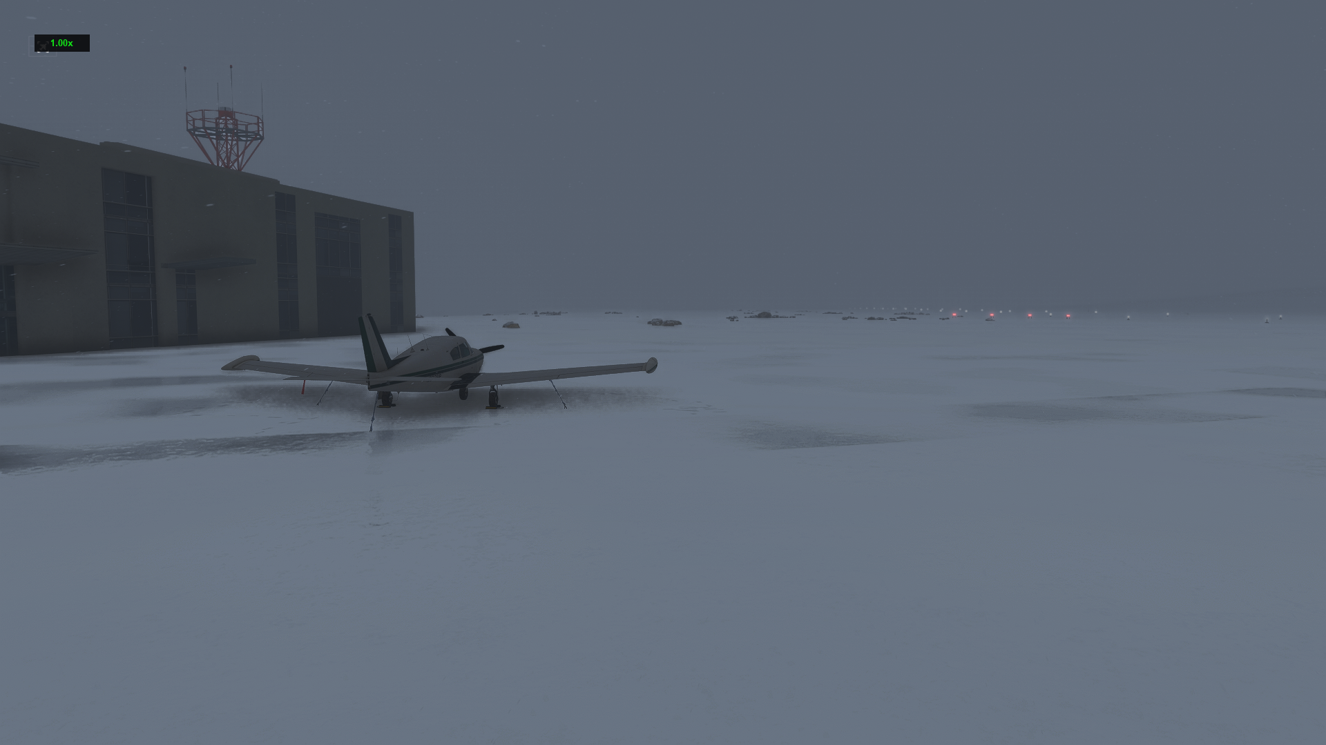
Blackbushe Airport sits in the Surrey countryside, hemmed in by the M3 motorway to the north and the Hampshire woodland to the south. It's a busy little GA field, home to a flying school, a classic aircraft dealer, and the kind of weekend flying that makes British GA what it is. It felt like an appropriate starting point. Understated. Very British.
The OFP said CAVOK. The simulator agreed. Climbing off runway 07, the English countryside unfurled in shades of green and brown, hedgerows stitching the fields together, the M3 glinting in the April light. The Comanche settled into the climb at 500 fpm and I picked up the SID routing towards Compton VOR (CPT), established on M183, heading north.
.png)
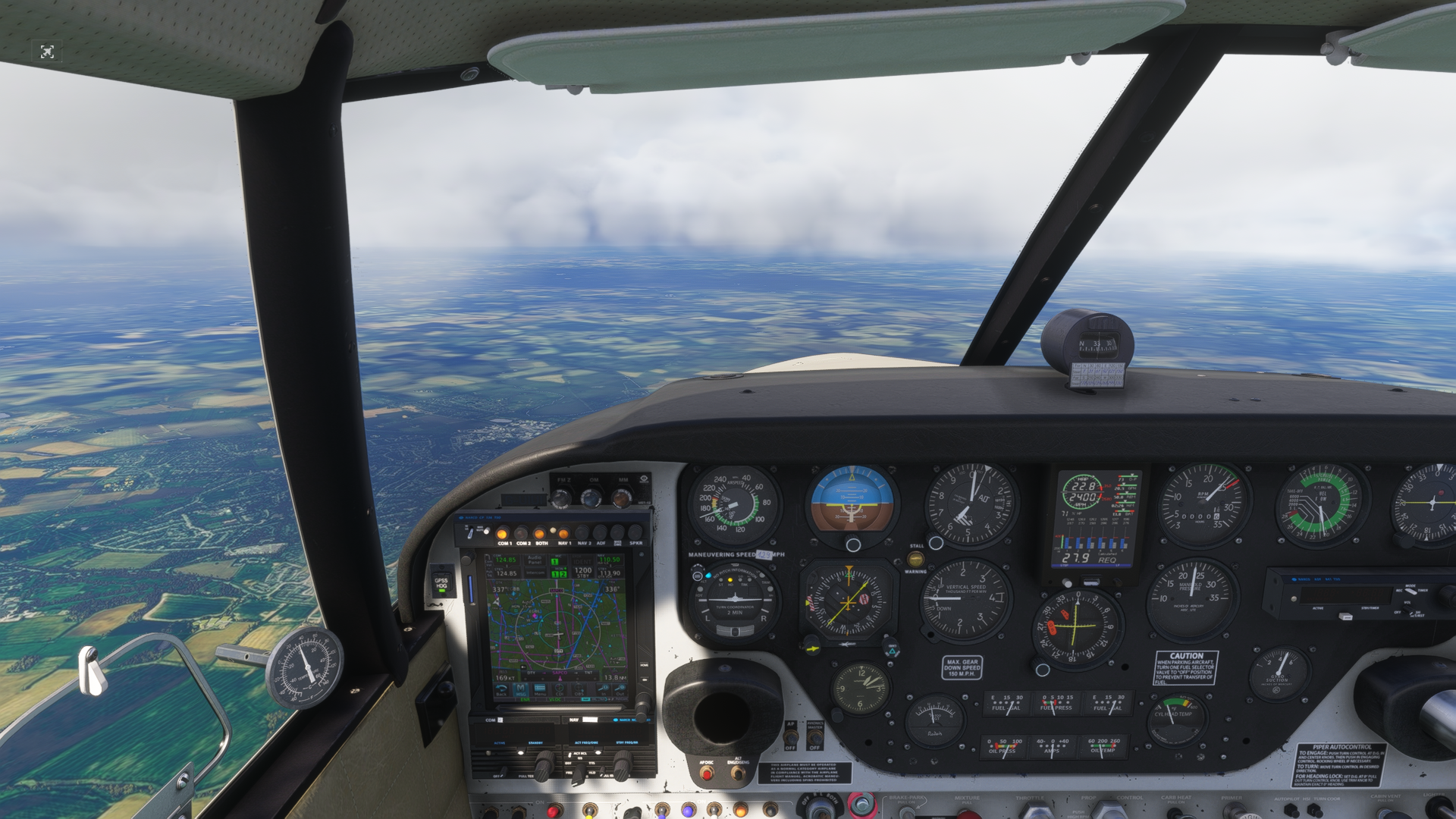
The routing took me across the Midlands, threading through controlled airspace via SILVA and DTY, before tracking north on Y53 towards SAPCO and POL. ATC, handled throughout by Say Intentions, kept me honest: climb approved to FL060, maintain track. The Comanche sits at FL060 with a certain dignity. The cylinder head temps are happy, the fuel flow is steady, and at 161 knots TAS you cover ground at a satisfying rate.
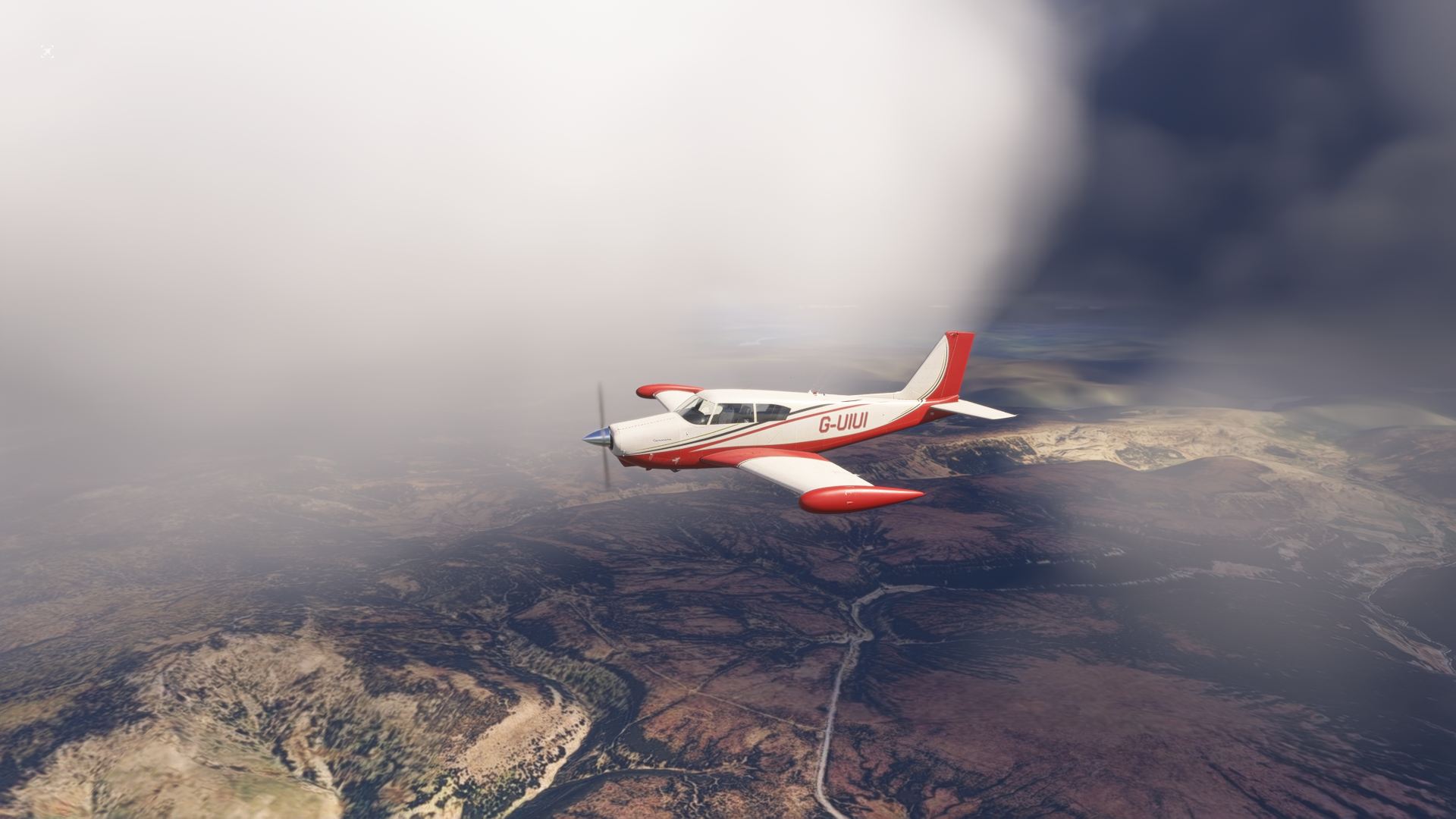
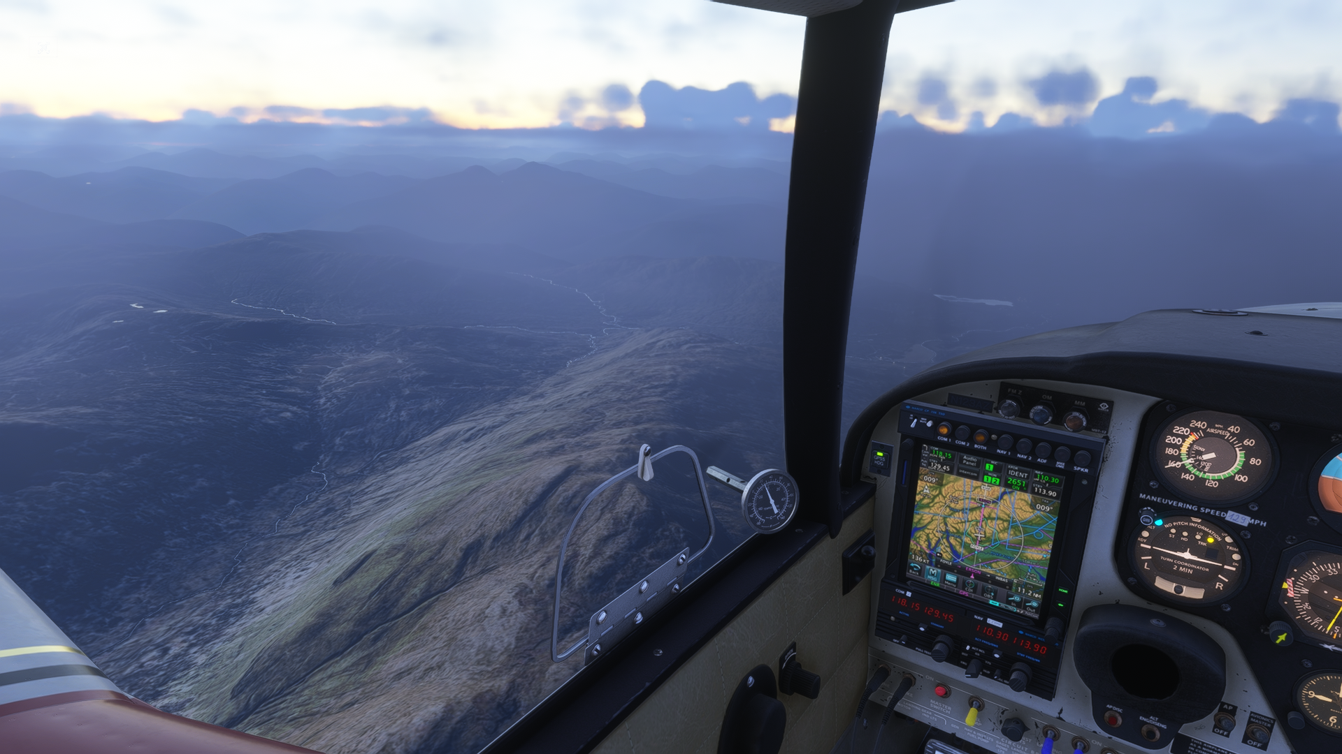
The scenery change when you cross into Scotland is unmistakable. The tidy English fields give way to the moorland within about 20 miles of the border, colour draining from the landscape, hillsides going brown and grey-gold. The cloud built ahead, and I watched the Comanche punch through some scattered layers before breaking out above the Scottish lowlands.
.png)
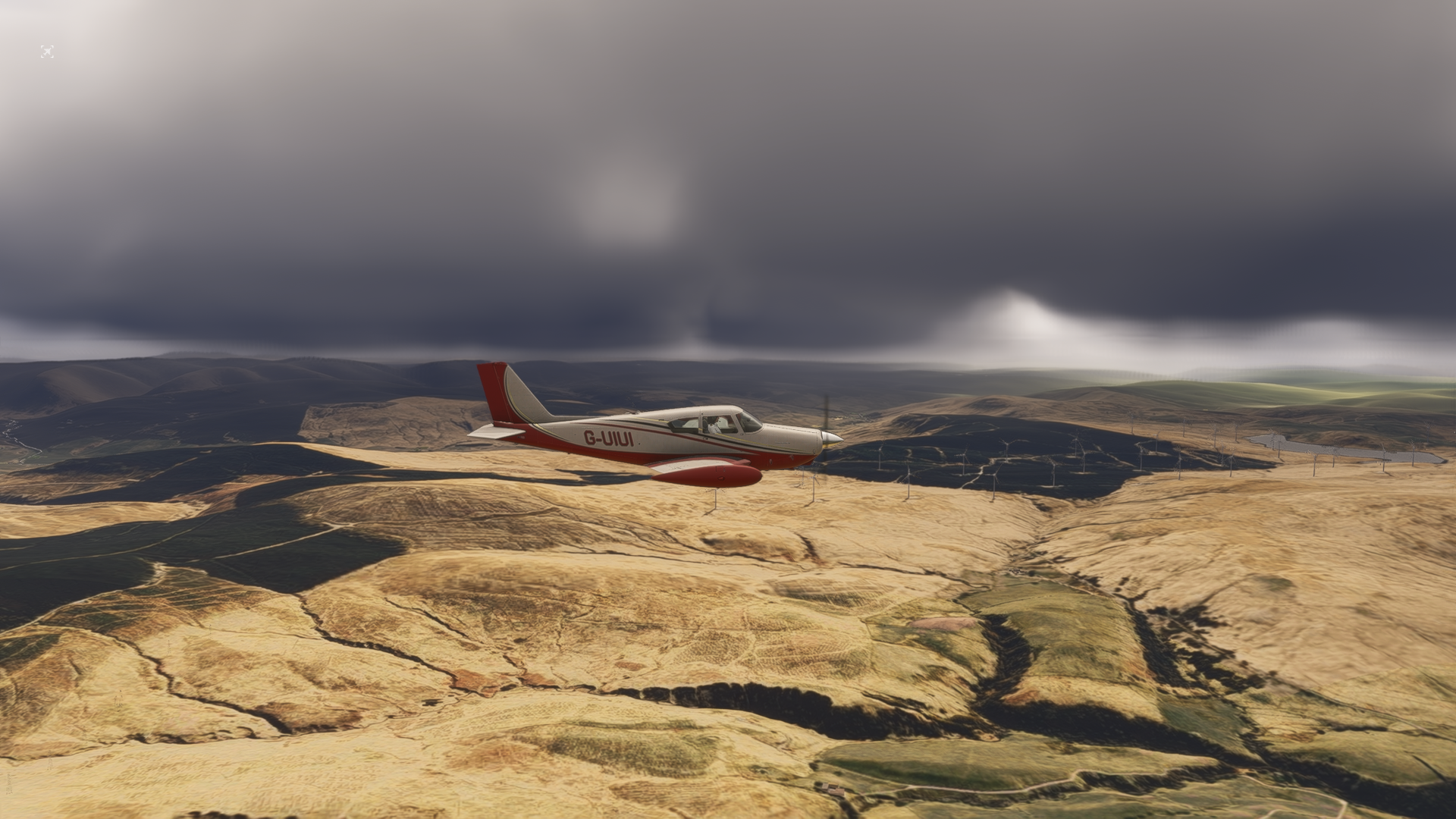
The Galloway and Southern Uplands came up on the left, their ridgelines draped in a mix of shadow and stormy light. It was genuinely dramatic flying, the kind of scenery that makes you stop tweaking the avionics and just look.
.png)
ASLIB1P arrival into Prestwick. Runway 13, straight in. EGPK is a wide, uncluttered airport with a long runway, a NATO diversion field with the bones of something much more serious than the GA traffic it mostly sees today. Parked on stand, engines off. Leg one in the log.
Block to block: 2h 39m. Fuel remaining: comfortable.
Leg 2: Prestwick → Vágar
EGPK → EKVG | 18 April 2026
| Route | TRN2K TRN DCT GOW N560 INBAS DCT STN DCT ADASI DCT NALAN DCT ROBUR DCT VG DCT EKVG |
| Cruise | FL070/FL080 stepped, 75% power |
| Distance | 464 nm (GC: 402 nm) |
| Block Time | 3h 47m |
| Block Fuel | 234 lbs |
| Avg Wind | 347°/16 kts, northerly headwind |
| Wind Component | M015, meaningful headwind all the way |
| Alternate | BIEG (Egilsstaðir, Iceland) |
| Destination Wx | 13009KT 9999 -DZRA FEW003 OVC010 08/07 Q1018 |
There was a note in the SimBrief OFP that I didn't love seeing: WARNING: FLIGHT EXCEEDS AIRCRAFT RANGE.
The Piper Comanche 250's published range, standard tanks and IFR reserves, sits somewhere around 700-900 nm depending on power setting and loading. The ground distance on this leg is 464 nm, but the air distance inflates to 515 nm with the 16-knot northerly headwind. With a careful fuel plan at 75% power and a thorough SimBrief calculation, the numbers work, but there's no margin for complacency. The alternate, Egilsstaðir (BIEG) on the east coast of Iceland, means a divert isn't a disaster. But you don't want to need it.
Four days had passed since Prestwick. In the sim fiction, N6229P had been sitting on the Ayrshire coast while I waited for a weather window. The OFP was filed and briefed the evening before departure.
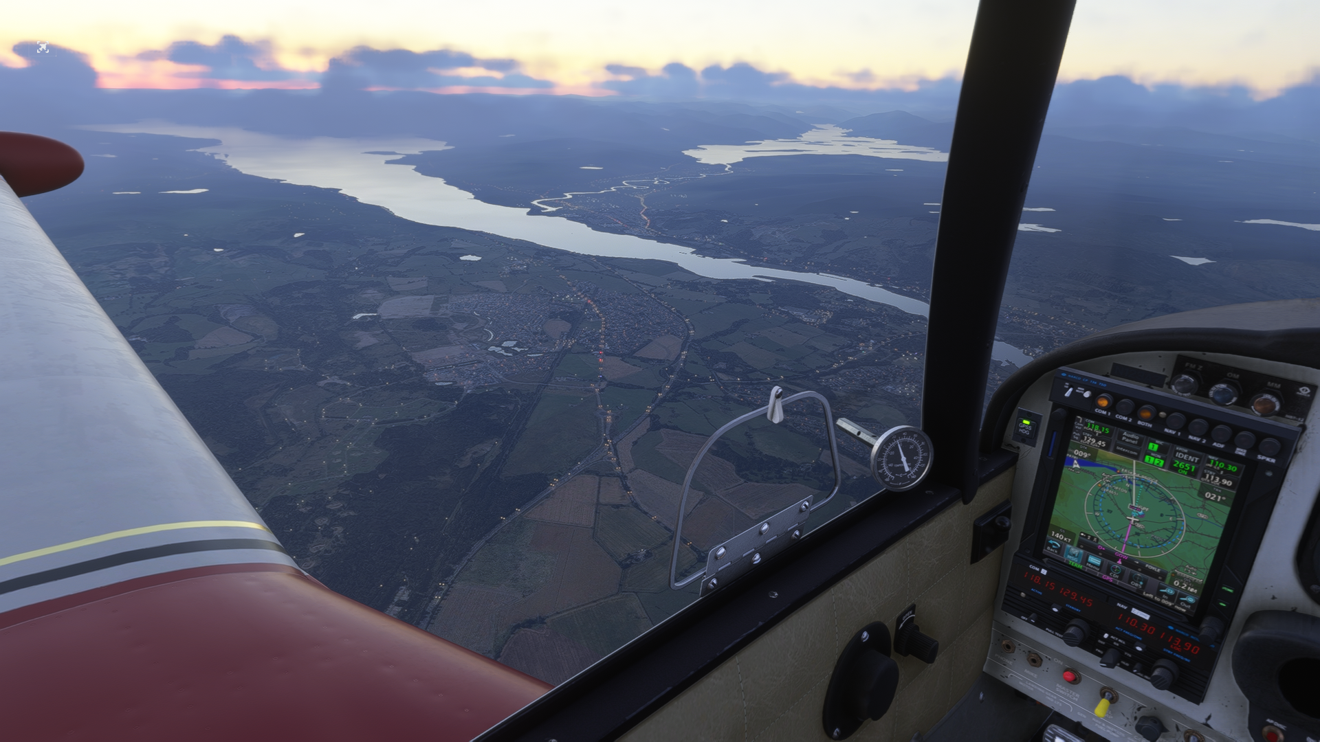
Pushing off stand at 1055z, I picked up the TRN2K departure off runway 30, climbing north. Prestwick's runway aligns almost perfectly with the departure track, a gift on a northbound leg. The Firth of Clyde appeared immediately below as I climbed through the dawn light.
.png)
Tracking north-northwest, the stepped cruise profile kicked in at INBAS: FL070 to FL080, back to FL070 at NALAN and up again to FL080. The stepped plan is a fuel optimisation, finding the best altitude for each segment of the wind profile. The Comanche doesn't go much higher than FL080 on a full fuel load without the turbo variant, and 75% power at this altitude gives a clean 161 knots TAS.
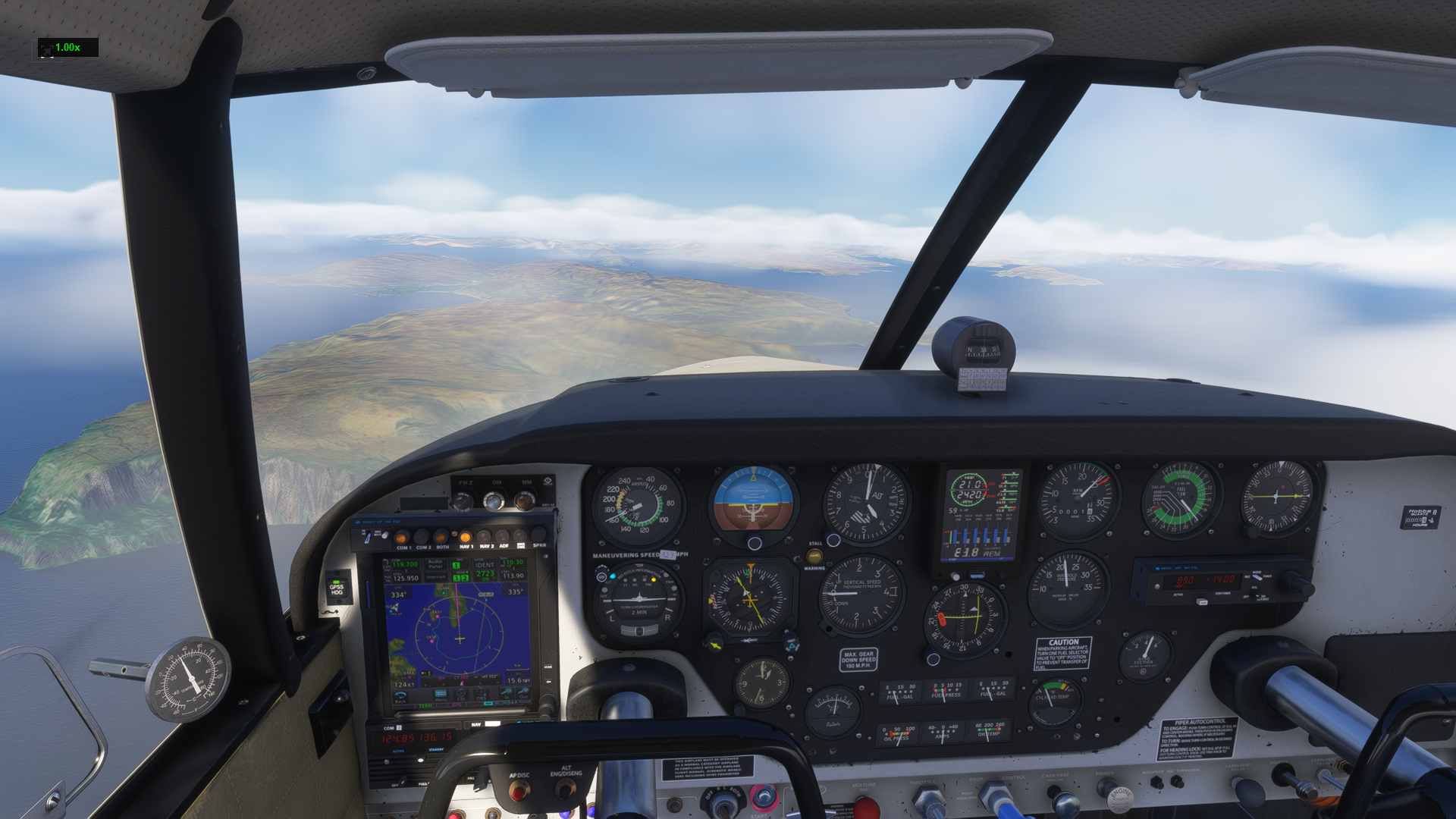
The Scottish coast dissolved behind me. Somewhere over the North Atlantic, with nothing beneath but dark water, the routing crossed into oceanic airspace via the ROBUR waypoint and tracked direct to the VG NDB off the Faroe Islands.
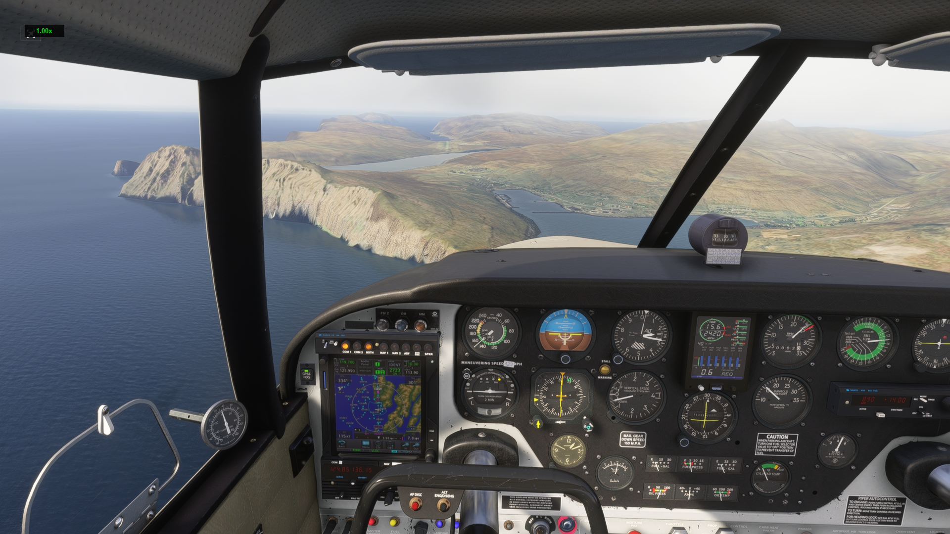
The Faroe Islands are one of those places that exist at the edge of what feels reasonable for a small aircraft. Seventeen islands of volcanic basalt rising straight from the North Atlantic, population barely 53,000, weather that changes from CAVOK to OVC003 in the time it takes to set up an approach. The ATIS had the Vágar weather as broken cloud base at 300 feet, overcast at 1,000, light drizzle, visibility 9,000 metres. Not a problem in IMC, but it makes the approach feel earned.
.png)
The runway at Vágar (EKVG) sits between the mountains and the sea, which is both what makes it beautiful and what makes it demanding. The approach clears a ridge before dropping to the threshold. Coming through the overcast, the cliffs emerged on either side of the windscreen with a suddenness that would have been alarming if I hadn't been heads-down on the instruments all the way down final.
.png)
.png)
Down. Runway 12. The Faroes in the drizzle, just as they'd always looked in every photograph. The most dramatic airfield environment of the trip so far, and we're only on Leg 2.
Block to block: 3h 47m. Fuel: tight but planned. The range warning wasn't idle; this leg takes the whole fuel system seriously.
Leg 3: Vágar → Reykjavik
EKVG → BIRK | 22 April 2026
| Route | MY2T MY DCT NASBU DCT BIRK |
| Cruise | FL080, 65% power |
| Distance | 449 nm (GC: 416 nm) |
| Block Time | 3h 25m |
| Block Fuel | 179 lbs |
| Avg Wind | 026°/04 kts, essentially calm |
| Wind Component | P000, zero wind component |
| Alternate | BIAR (Akureyri) |
| Destination Wx | 14016KT 9000 OVC011 09/08 Q1010 REDZ |
| MORA | 06,700 ft at the MY waypoint |
If there's one leg of this journey that existed purely as a visual experience, it was this one.
The routing out of Vágar is deceptively simple on paper: MY2T departure, track to the MY NDB, then DCT NASBU, DCT BIRK. A grand-circle arc across the Norwegian Sea and into Icelandic airspace. The cruise altitude of FL080 at 65% power reflects a more conservative power setting, as the leg is long enough that fuel efficiency matters more than speed, and with essentially zero wind component, the TAS numbers are what they are.
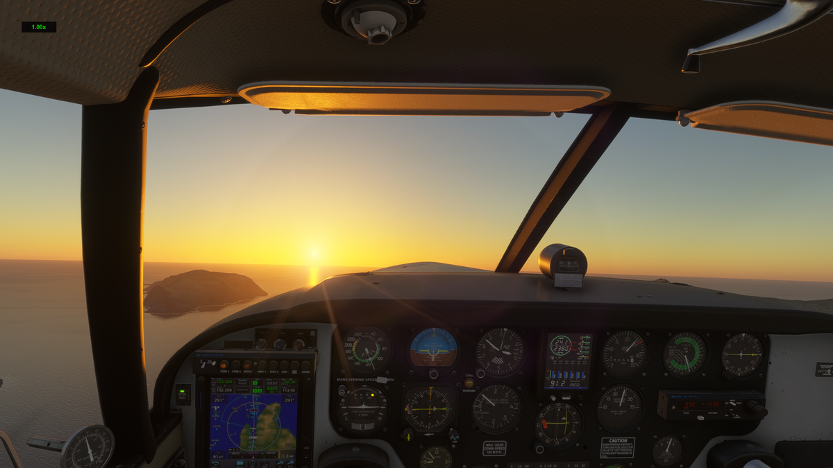
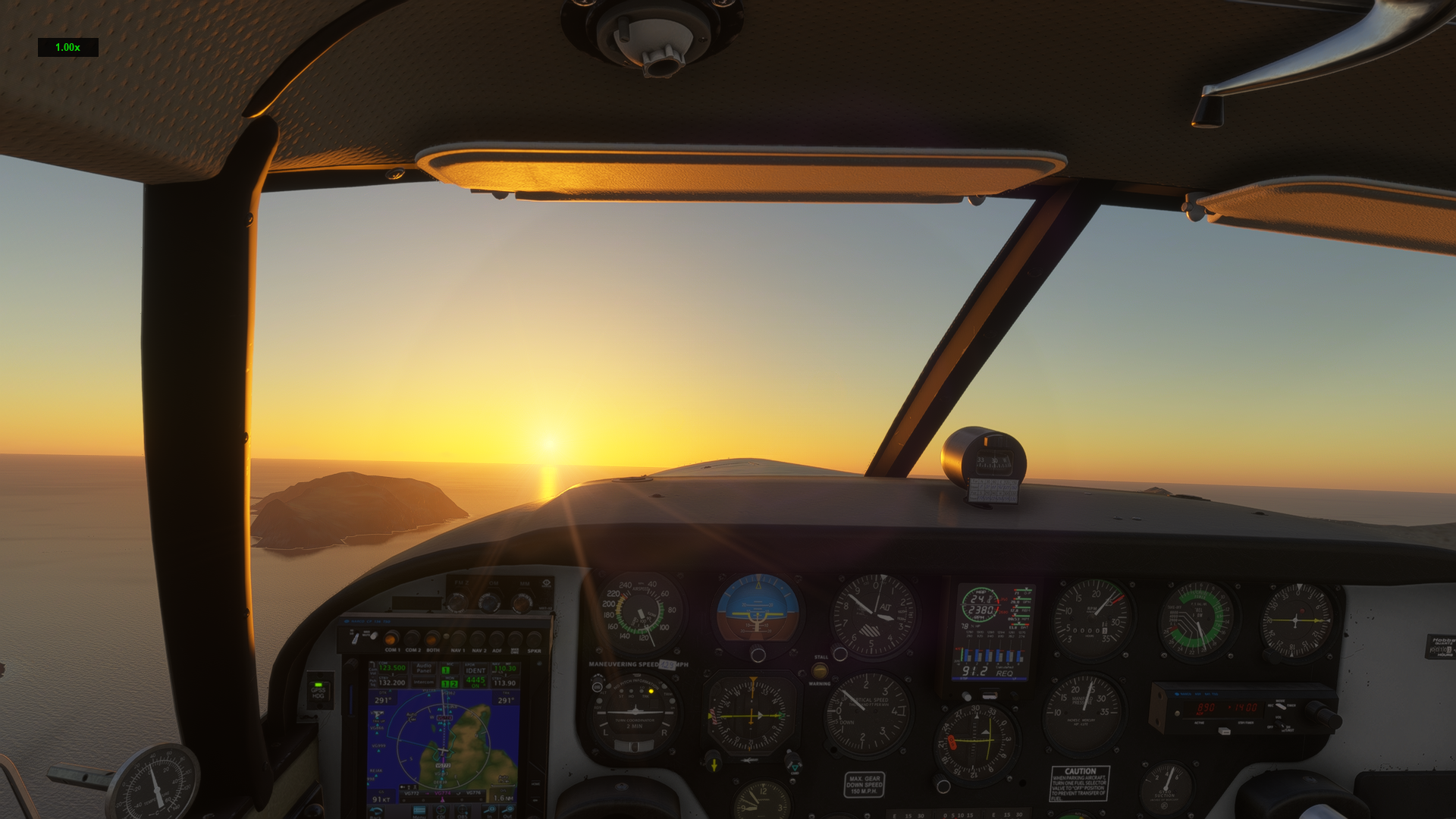
It was at cruise, somewhere between MY and NASBU, that the North Atlantic delivered something I wasn't expecting: a sunrise over the ocean that stopped me dead.
.png)
There's nothing in your peripheral vision to contextualise it. No land, no other aircraft, just the Comanche's nose pointing west-northwest at FL080 and the sun cracking the horizon ahead and to the right, painting the clouds in shades of amber and gold. The instruments glow, the engine purrs at 65%, and for a moment the difference between a simulator and reality feels genuinely academic.
I sat with it for a few minutes before touching anything.
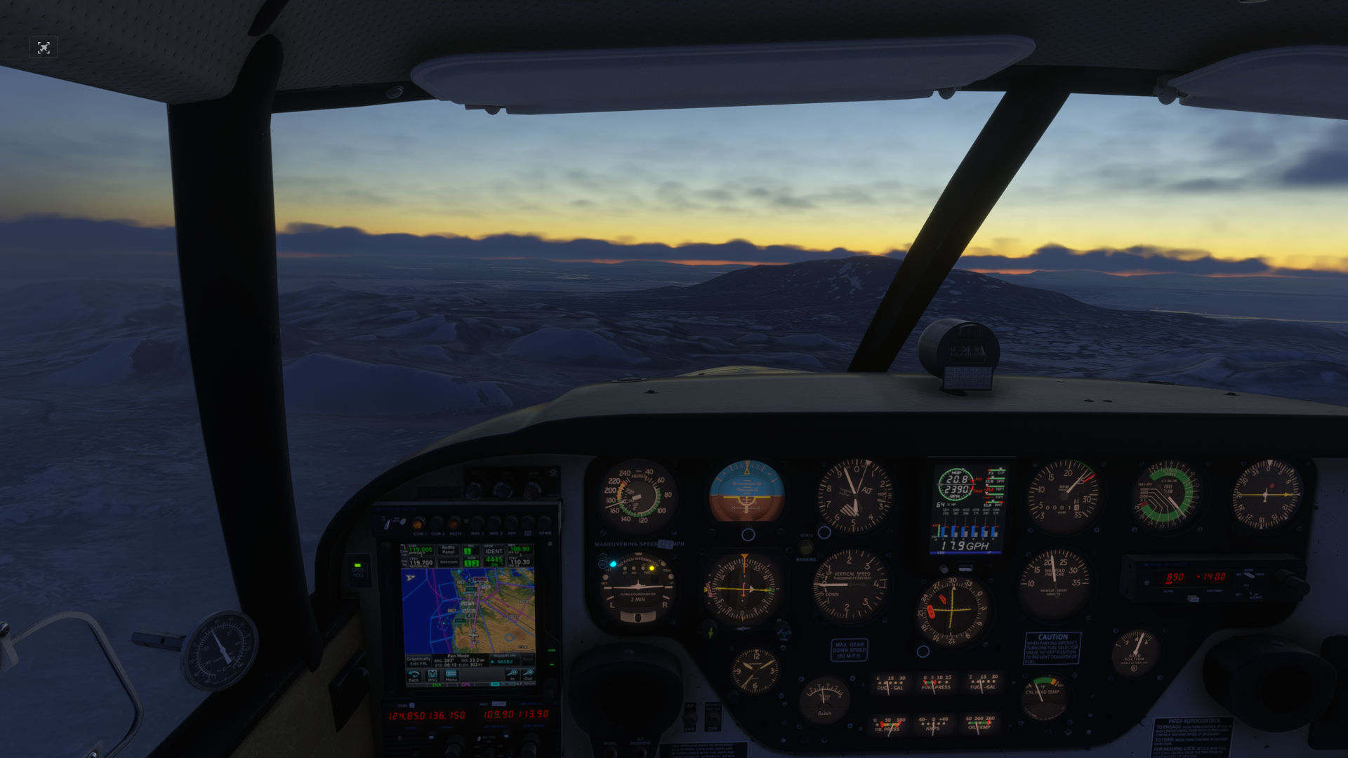
The routing past NASBU brought Iceland into view on the radar long before it was visible through the windscreen, a mass of terrain return resolving out of the scope noise. The MORA at the MY waypoint is 06,700 feet, which tells you something about the volcanic landscape below. Iceland from the air looks like the planet is still deciding whether it wants to be land or ocean.
.png)
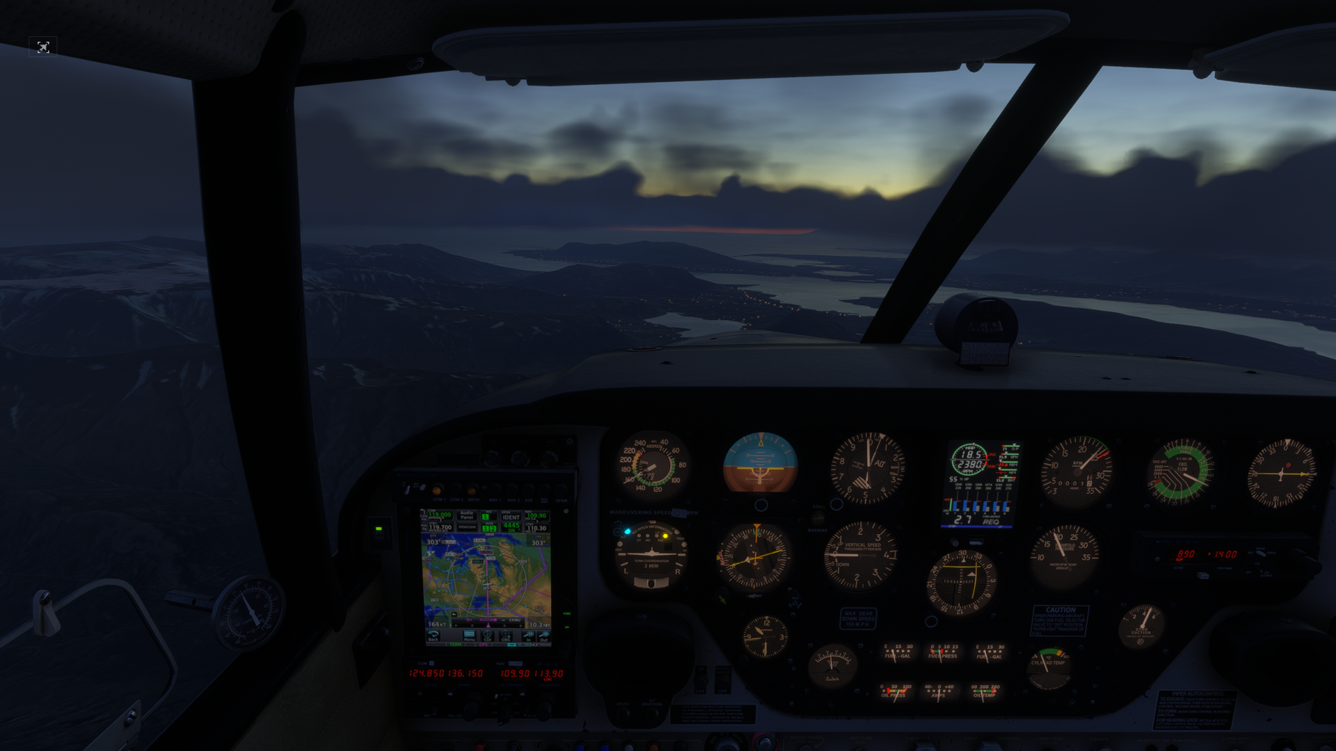
Descending toward Reykjavik, the light had shifted to that extraordinary Nordic twilight that lingers for hours, not quite day, not quite night, everything lit in shades of blue and violet. The Reykjavik ATIS confirmed what the OFP had predicted: OVC011, 16 knots out of the southeast, recent drizzle. Classic Iceland.
.png)
Reykjavik City Airport (BIRK) sits at the edge of the capital, surrounded by geothermal steam, the harbour, and the suburban sprawl of Iceland's only real city. The ILS brought me down through the overcast cleanly, and the runway appeared at minimums in a soft grey drizzle. The kind of landing that feels like the instruments did all the work and you were just along to manage the power.
.png)
Parked at BIRK. Three legs in the log. The airport sits on a peninsula, with water visible on three sides of the terminal.
Block to block: 3h 25m. A perfect wind day. The sunrise made the whole trip worthwhile already.
Leg 4: Reykjavik → Kulusuk
BIRK → BGKK | 27 April 2026
| Route | DCT KFV DCT GIRUG DCT GOKIK DCT SOSIT UT593 SABAG DCT BGKK |
| Cruise | FL060, 75% power |
| Distance | 419 nm (GC: 396 nm) |
| Block Time | 3h 02m |
| Block Fuel | 146 lbs |
| Avg Wind | 175°/34 kts, southerly tailwind |
| Wind Component | P006, light tailwind assist |
| Alternate | NONE |
| Departure Wx | 11014KT 9999 -DZ BKN031 09/06 Q1010 |
| Max Oceanic Entry | FL150 |
There's a line in the OFP for Leg 4 that reads simply: ALTN: NONE.
No alternate. Kulusuk Airport (BGKK) on the southeast coast of Greenland is what you get. If there's a problem (weather, runway, anything) you manage it from where you are. The nearest divert options are back toward Iceland or forward toward Nuuk, and neither is straightforward in a single-engine piston on a cold, grey April day over the Labrador Sea.
I sat with that for a moment before pushing off stand.
The departure out of Reykjavik was in the drizzle, BKN031 as reported, with a light easterly backing around to the south-southeast as the day progressed. The 34-knot southerly tailwind, giving a P006 wind component, was the good news. The Comanche clocked out of Reykjavik in the direction of Greenland with the fuel load looking clean and the routing via KFV, GIRUG, GOKIK, and SOSIT taking me northeast before curving west along the UT593 airway toward the SABAG waypoint and the Greenland coast.
The routing took N6229P into Oceanic airspace at FL060, well below the FL150 maximum oceanic entry altitude. The NAT tracks mandate ADS-C and CPDLC above FL290, which a Comanche never approaches on this kind of mission. But the airspace structure is still there, the oceanic clearances still matter, and Say Intentions managed the handoff into Reykjavik Oceanic cleanly.
An hour in, the cloud base had dropped to broken at a lower layer and I was threading between cloud decks, FL060 keeping me below a solid overcast above, with grey ocean glimpsed through gaps below. Greenland was still two hours away.
.png)
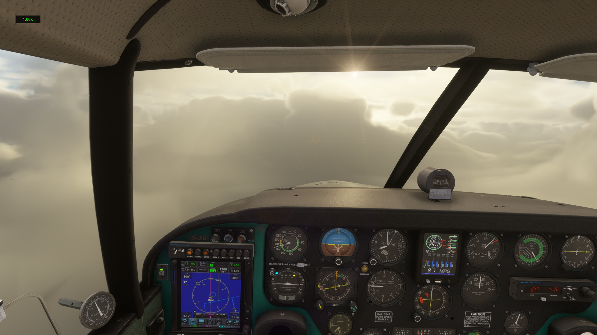
The Comanche flew on through deteriorating conditions. The OFP weather for Kulusuk had been scant, as BGKK doesn't file METARs the way a major airport does, but the TAF fragments in the briefing had hinted at marginal conditions. What the simulator delivered was a full Arctic blizzard.
Fifty miles out, the terrain alert triggered before I could see anything through the windscreen. Greenland's coastal mountains, some cresting above 8,000 feet in this area, were hidden inside the weather. I was already established on the approach, cross-checking the GPS overlay on the GNS against the instrument approach procedure, managing the descent profile carefully. Kulusuk's runway runs roughly east-west and the approach from the west requires careful obstacle clearance.
The runway appeared at the last moment. Not dramatically, just a grey smudge resolving into a surface, then threshold markings, then tarmac under the main gear. The crosswind off the plateau pushed the nose around on rollout. The braking was firm.
Taxying off the runway, the blizzard closed back in.
.png)
Kulusuk's terminal is a small building at the edge of the plateau, serviced by a handful of flights a week, mostly from Reykjavik. It exists because the sea ice in the fjord below made building a port impossible. The runway is carved from the rock of the island. In April, it is buried under several months of winter that is only beginning to loosen its grip.
The Comanche sat on the ramp in the blizzard, cooling down rapidly from the cold.
.png)
Four legs complete. Halfway across the North Atlantic.
Block to block: 3h 02m. No alternate filed, no issues. The weather at Kulusuk was exactly as hostile as Greenland is entitled to be.
Status: Four Down, Four to Go
The journey so far in numbers:
| Leg | Route | Dist (nm) | Block Time | Conditions |
|---|---|---|---|---|
| 1 | EGLK → EGPK | 328 | 2h 39m | CAVOK departure, moorland arrival |
| 2 | EGPK → EKVG | 464 | 3h 47m | Headwind, IMC approach, Faroes in the drizzle |
| 3 | EKVG → BIRK | 449 | 3h 25m | Calm, a North Atlantic sunrise, OVC arrival |
| 4 | BIRK → BGKK | 419 | 3h 02m | Tailwind, no alternate, Arctic blizzard at Kulusuk |
Total so far: 1,660 nm. Approximately 13 hours block time.
The remaining four legs push deeper into the Arctic: Kulusuk to Nuuk (BGGH) down the Greenland coast, then across the Davis Strait to Kangerlussuaq (BGSF), northeast across Baffin Island to Qikiqtarjuaq (CYVM), and the final leg south to Iqaluit (CYFB) on Baffin Island.
The Comanche has handled every leg without complaint. The Lycoming is running well, the fuel planning has been solid, and Say Intentions has managed every IFR handoff cleanly, including the oceanic sector on Leg 4. The MSFS 2024 weather engine has been doing its job: no two legs have felt the same.
I'm watching what The Flying Reporter does when he departs Blackbush on 23rd May. Our routes overlap through the North Atlantic section, but his journey doesn't stop at Iqaluit. He's continuing to Goose Bay, crossing into the US at Bangor, Maine, then working his way down through Niagara Falls, New York, Lock Haven, Washington, and Orlando before arriving at Oshkosh for AirVenture on 19th July. All of it in aid of Airaability, with a £50,000 fundraising target. The North Atlantic crossing we share is the same logic, the same no-alternate reality at Kulusuk, except he'll actually be sitting behind that Lycoming, and there will be no pause button.
Part Two, Legs 5 through 8, coming once the wx clears at Kulusuk.
All flights conducted in Microsoft Flight Simulator 2024. Flight planning via SimBrief. ATC via Say Intentions AI. All IFR, real aircraft performance figures, live weather. Inspired by The Flying Reporter's real-world journey from Blackbush to Oshkosh via the North Atlantic, departing 23rd May in aid of Aerobility.
The Piper Comanche 250 (PA-24) is not certified for RVSM airspace or long-range oceanic operations in real-world aviation without modification. This is a simulation.