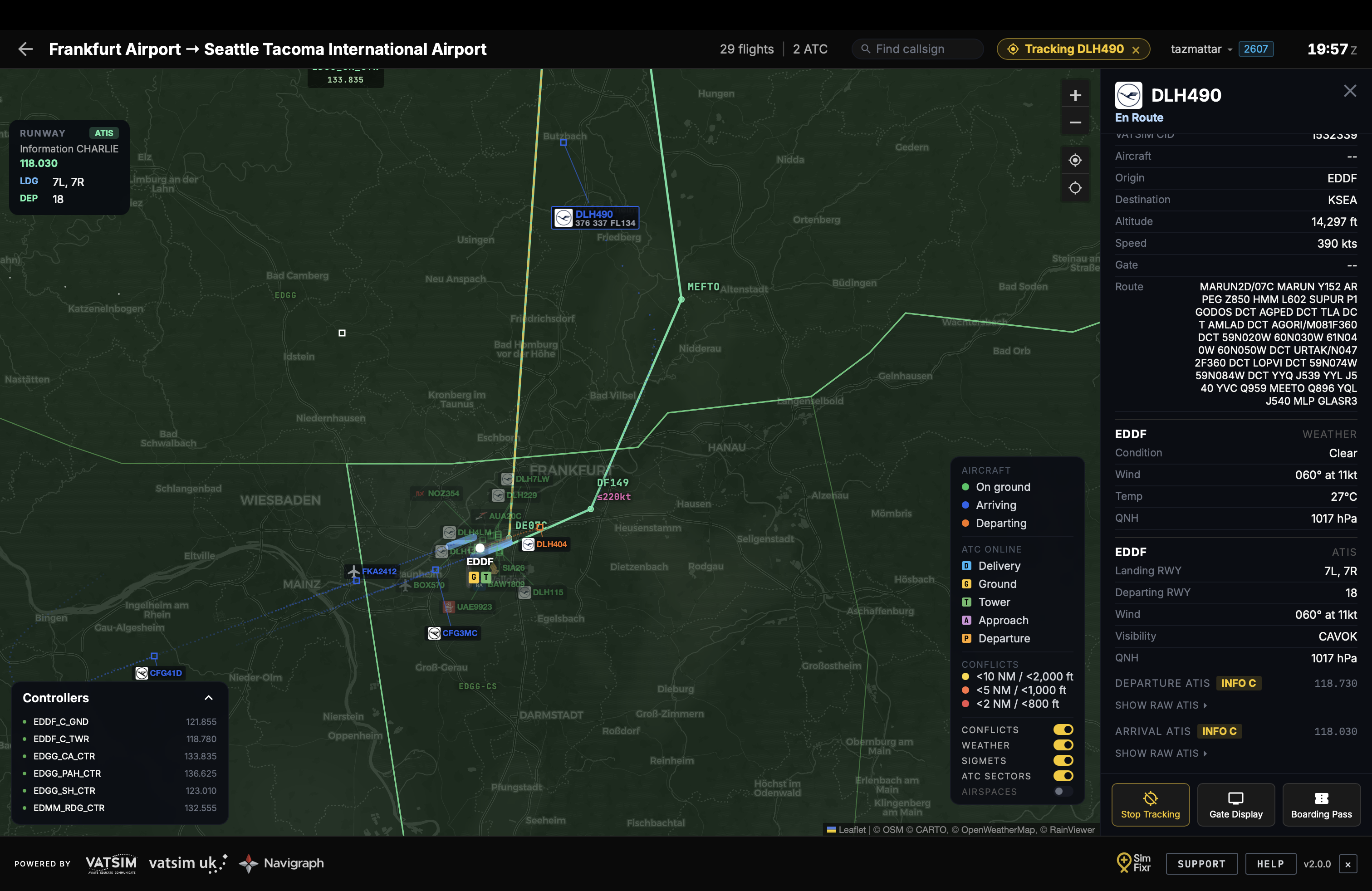
FlightBoard 2.0.0 is live, and it's the biggest update the Live Map has ever had. Your flights now fly the routes they actually filed, not straight lines guessing at them, thanks to a new integration with Navigraph's official navigation data. Around that, we've added a global weather overlay, the ability to track any aircraft on the network, and a reworked flight detail panel that puts the tools you use most within reach.
Here's everything that's new.
Real flight plans, drawn properly
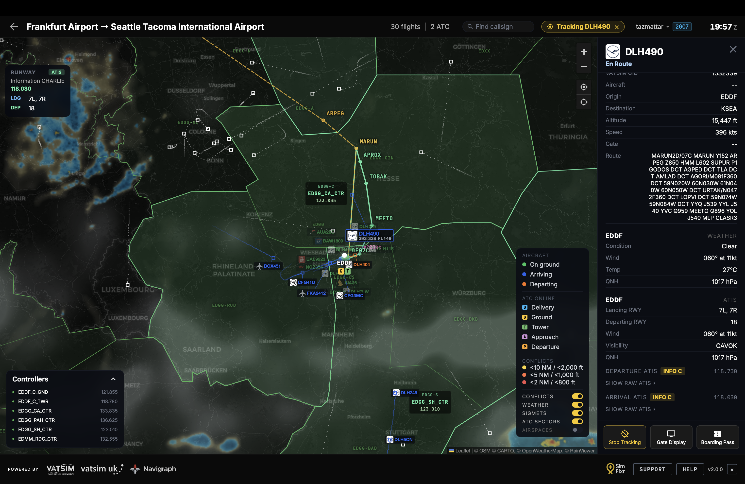
Every flight on the Live Map now has its filed route rendered as a polyline with named waypoints, resolved against official Navigraph navigation data. This replaces the old straight-line approximation with the actual published route.
Free for everyone:
- En-route fixes and full airway expansion: filed airways like UL607 are expanded into their intermediate fixes, so the route traces the real airway rather than cutting a straight line between endpoints
- Departure routes follow the runway centreline before turning toward the first fix, using the active runway from ATIS
- Filed procedure names are matched intelligently against the navdata, handling ARINC 424 compression and AIRAC cycle drift, so procedures like CINDY8S resolve correctly
- Routes are drawn using an older AIRAC cycle. Without a connected Navigraph FMS Data subscription, SID/STAR procedures, altitude and speed constraints, and instrument approach rendering are not shown
For connected Navigraph subscribers with FMS Data: - Full SID/STAR procedure expansion, with altitude and speed constraints shown in pink beneath each waypoint - The current AIRAC cycle shown as a badge next to your username - Instrument approach rendering: arrivals continue past the STAR onto the published approach, with the transition, final approach course and glidepath angle drawn in purple down to the runway threshold. Uses the ATIS active landing runway, falling back to the pilot's filed runway if no ATC is online
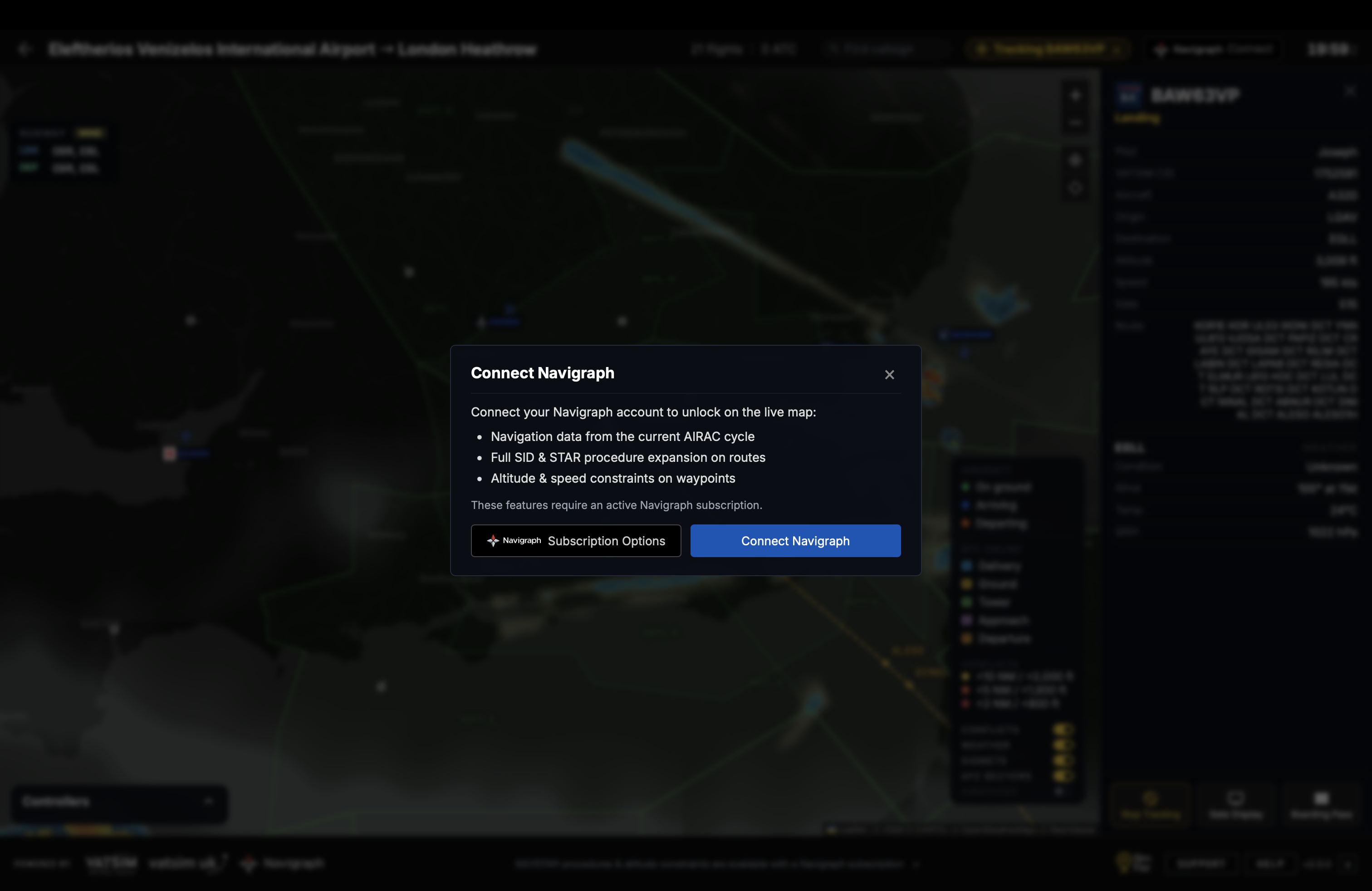
Connecting your Navigraph account takes one click from the map header, where a perks overview explains what you'll unlock before you connect. The username now opens an account menu rather than logging you out instantly.
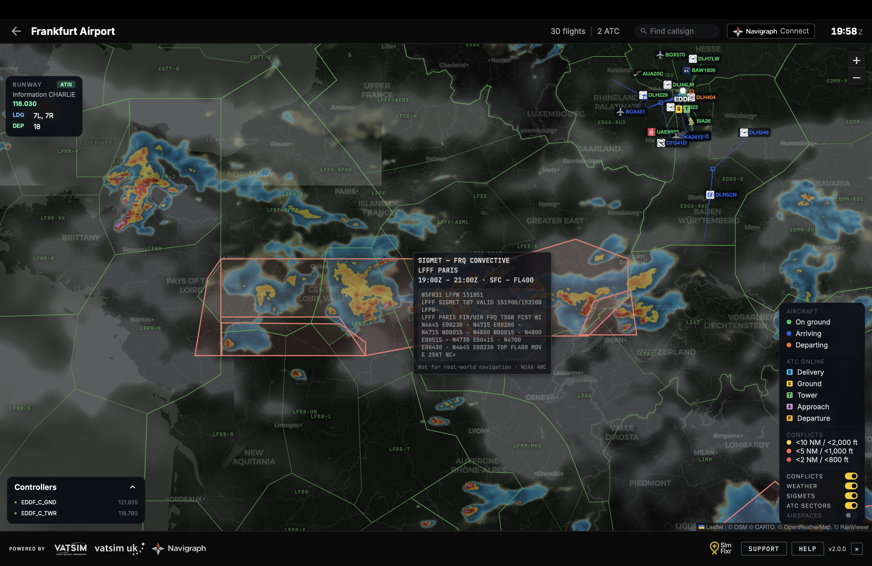
SIGMET weather overlay
The Live Map now shows worldwide SIGMETs (thunderstorms, severe turbulence, icing, volcanic ash, tropical cyclones) as colour-coded polygons, sourced from the NOAA Aviation Weather Center. Hover any polygon for the hazard type, validity window, altitude band and raw report text. Toggle the layer on or off from the SIGMETs button in the legend.
Track any aircraft, anywhere
Two new ways to follow traffic:
- Track from the map: click Track Flight in any flight's detail panel to start tracking it, with an amber chip in the map header showing your current target. Stays in sync with the board.
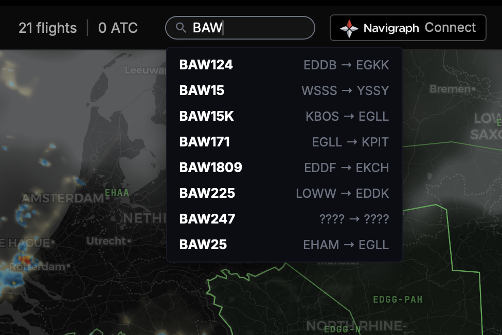
- Find any aircraft: a callsign search in the map header lets you locate and track any flight on the VATSIM network, not just traffic at your airport.
A flight panel that earns its space
The flight detail panel has been redesigned for faster scanning:
- Track Flight, Gate Display and Boarding Pass are always in reach, no longer scrolled out of view
- ATIS is decoded into an at-a-glance summary (active runways, wind, visibility, QNH, transition level), with the full raw broadcast one click away
- The tracked aircraft's data tag (speed, heading, level) now interpolates smoothly between position reports instead of stepping once per update
- Aircraft in conflict reveal their full data tags outlined in the conflict severity colour, so both flights can be compared directly
Everything else
- Legend overlay toggles (Conflicts, Weather, SIGMETs, ATC Sectors, Airspaces) restyled as clean switches
- Waypoint and constraint labels enlarged and moved clear of the route line for readability
- Support, Help and a dedicated Live Map user guide added to the map footer
- Airline logos added for Norwegian (NOZ/NSZ/IBK) and Norse Atlantic Airways (NBT/NUK)
- Conflict detection hardened: no more false alerts from an aircraft matched against itself, and conflict lines now clear reliably
- Fixed a rare backwards slide in aircraft motion on repeated position updates, fixed tile seams on Safari/retina displays, and sharpened the weather radar overlay
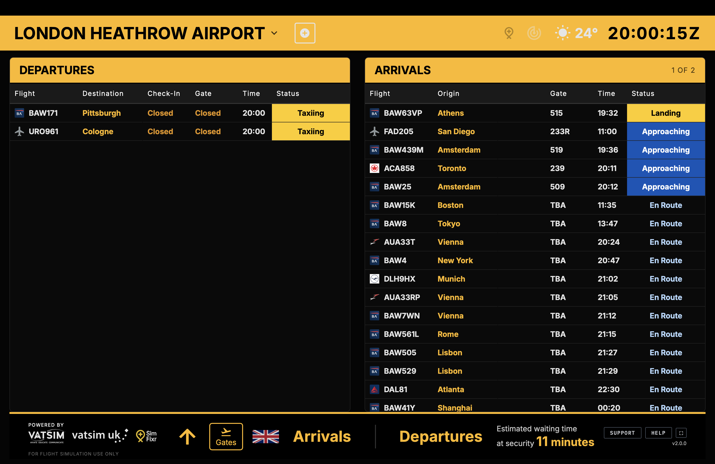
- On the board, the Aircraft column now steps aside on narrow split-screen and touch layouts so the essential columns stay readable
- "Add Airport" is now Airport Search, a small rename, but it's what the dialog actually does
- Under the hood, the Live Map code was restructured into modules, making future development faster and safer
Get started
Open the Live Map and connect your Navigraph account from the header to unlock SID/STAR expansion, constraints and approach rendering on the current AIRAC cycle. Everyone else gets the new airway-aware routing and departure logic automatically, no setup required, drawn from an older AIRAC cycle without procedure or constraint detail.
As always, questions, bug reports and feature requests are welcome on the SimFixr Discord — it's the fastest way to reach us.